|
Operating day: Daily
Operating time: 06.00 - 18.00
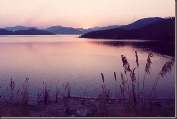
The Park covers 350 square kilometres of Chiang Mai Province and Lamphun Province, with a landscape of rugged mountains reaching up to 2,030 m. There are various pine, evergreen and mixed forests on the mountains and valley slopes, which are the source of streams eventually giving rise to the Ping River. The forest area is the habitat of different birds, deer, gibbons, wild boars, etc. The weather is generally cool and breezy, although the summer can get quite hot.
Attractions:
Mae Ta-khrai Check Dam
Park headquarters is situated here among mixed forests and bamboo groves. A 3-km nature trail rings the Check Dam.
Tat Moei Waterfall
Soaring 15 metres in height, Tat Moei is very spectacular, especially in the rainy season when its flow is swollen with runoff. The waterfall is about 16 kilometres away from Park headquarters and reaching it requires a 3 km hike through forests.
Mae Ta-khrai Waterfall
This is a single-level waterfall, 6 kilometres away from Park headquarters. Along the way, there are various kinds of plants, mushrooms and wild flowers.
View Points
2 view points can be visited on the Mae Ta-khrai - Huai Kaeo road. The first one is at KM 6, offering panoramic mountain vistas of the range which forms the border between Chiang Mai Province and Lam Pang Province. The second one is another 600 m away, and is likewise quite impressive. Notably, it possesses a supreme view of Chiang Mai Town and Doi Suthep which is impossible to obtain elsewhere. At night, shimmering lights from the town far below seem to create a sea of stars on Earth, nestled in the arms of the valley.
Doi Langka (Phu Langka Luang)
With an altitude of 2,030 m above sea level, this is the fifth-highest mountain in the country. The climate is fresh and cool all year round. Wide open grassy plains sweep across the mountaintop. The area is especially beautiful between February and March, when Azelia (Rhododendron sp.) is in full bloom. Phu Langka Luang lies 50 kilometres north of Park headquarters. Getting there:
By car: Drive to Kamphaeng Hin Village, then hike the 12 kilometres up to the mountaintop.
By foot: Hike up to Doi Langka from Khun Chae National Park. The trip takes 2 days. Visitors can do both – hike one way and travel by car the other way.
Getting to Mae Ta-khrai National Park:
From Chiang Mai Town, take Highway 1006 to King Amphoe Mae-on. At the intersection in front of Pao Sam Kha School, turn right onto Highway 1229 and continue for 4 kilometres to Check Point 1. After another 10 kilometres take the right turn in the direction of Ban Huai Kaeo. Park headquarters and the Check Dam are about 800 m further on.
Accommodations: 2 campsites are provided at the Check Dam.
For more information contact Mae Ta-khrai National Park, Tambon Tha Nuea, Amphoe Mae On, Chiang Mai 50130, or the National Park Centre, Chiang Mai Forest Office 50000, tel. 0 5381 8348.
From : http://www.tourismthailand.org
|